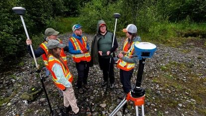
This summer, Larissa Kurtz is working on finding better ways to collect hydrological data and identify key signs that help shed light on connections between forests and streams to inform watershed-scale hydrological modelling.
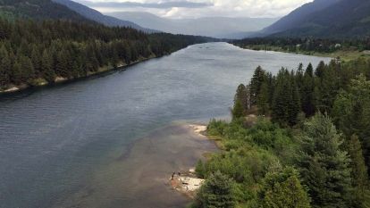
As a research intern with the GIS & Natural Resource Management team, Kurtz has leveraged remotely sensed RGB imagery to produce high-resolution images of mountain stream channels. These images are used to perform 3D photogrammetry, allowing for measurements of channel characteristics to be compared against field measurements and LiDAR-based imagery. Her efforts are aimed at streamlining remote-sensing processes to make it easier and more accurate to study mountain streams from aerial images.
“I have enjoyed working with drones and troubleshooting in complex terrain while gaining a greater understanding of hydrological processes,” says Kurtz, a recent graduate of the Advanced Diploma in Geographic Information Systems (ADGIS) Program. “Working in the field has allowed me to apply the tools the ADGIS Program taught me in a more practical way.”
This project builds on years of work and data collection by Dr. Kim Green and her team to study the connections between forests and watersheds and model hydrological systems across the Kootenays. The project aims to improve efficiencies and reduce the costs of field-based measurements by using remotely sensed imagery for long-term stream channel monitoring.
“I have been equipped with the tools to experiment with new equipment and processes,” says Kurtz. “Working in challenging environments with drones has honed my problem-solving skills, allowing me to think independently and find innovative solutions to our questions.”


