We collaborate—never compete—with local businesses. If you’re an existing business, we’re keen to help you increase efficiencies, decrease your costs and enhance productivity. If you’re a designer or entrepreneur, we can help design and realize your dream. If you’re a worker, student or prospective student wanting next-level advanced manufacturing, computing or GIS skills, check out our training opportunities.
Amplify Your Impact, Efficiency and Productivity
Leverage our technical expertise and specialized equipment to advance your product design and the development of commercializable products/services.
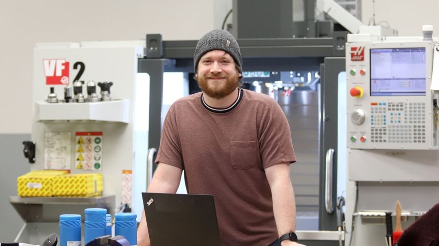
Advanced Manufacturing
- 3D printing and scanning
- Fitness for service testing
- Metrology
- Prototype technologies for commercialization by industry
- Rapid prototyping
- Reverse engineering
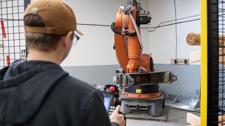
- Robotics
Advanced Computing
Artificial Intelligence and Machine Learning
- Computer vision
- Machine learning applications (object detection, image classification, facial recognition, sentiment analysis, topic modelling, clustering, time series forecasting)
- Machine learning model development and training (including deep learning)
- Natural language processing
Data Science and Analytics
- Data science
- Data management
- Big data and analytics
- Asset management for rural communities
Software Solutions and Applications
- API development and integration
- App development
- Software development
- New software applications
- Advanced computing (visualization, virtual reality, cloud computing, data portals, web-based reporting and analysis)
Immersive and Interactive Technologies
- Augmented and virtual reality
- 3D physical models
Electronics and Connected Devices
- Electronics
- Internet of Things
- Robotics
Scientific Research and Modelling
- Scientific modelling
- Experimental design
- Physics
- Climate science
GIS-Based Geospatial Analysis
Data Collection and Remote Sensing
- Drone-based remote sensing (LiDAR, thermal infrared, ground-penetrating radar, multispectral, hyperspectral, photogrammetry)
- Bathymetric mapping using green LiDAR, ground-penetrating radar, and sonar
- Thermal refugia mapping and temperature monitoring
- Ground Penetrating Radar (GPR) for subsurface feature and peat depth mapping
- Vessel-based sonar and drone-based bathymetry
- Snow depth and snowpack mapping using LiDAR
- Long-range utility and infrastructure corridor mapping
- Beyond Visual Line of Sight (BVLOS) drone operations and workflow development
Spatial Analysis, Modelling and Automation
- Machine learning and AI-driven object detection and classification (e.g., fish, redds, trees, cones)
- Big data processing, analytics, and spatial modelling
- 3D forest structure, biomass quantification and fine fuels assessment
- Predictive spatial modelling and environmental risk assessments (wildfire, avalanche)
- Ecosystem and habitat monitoring and modelling
- Integration of multi-sensor geospatial datasets for comprehensive analyses
Applications and Delivery
- Asset management solutions for rural and remote communities
- Custom software and geospatial application development
- Map-enabled web apps, story maps, data portals, and web-based reporting tools
- Print and digital cartography for technical and public audiences
- Environmental planning support through spatial decision-making tools
- Development of standard operating procedures (SOPs) and best practices for advanced drone and data collection operations