Thursday, November 20, 2025 | 11am
- 1pm
Castlegar, Staff Lounge

Cartography for Change: GIS and the Path to Sustainability
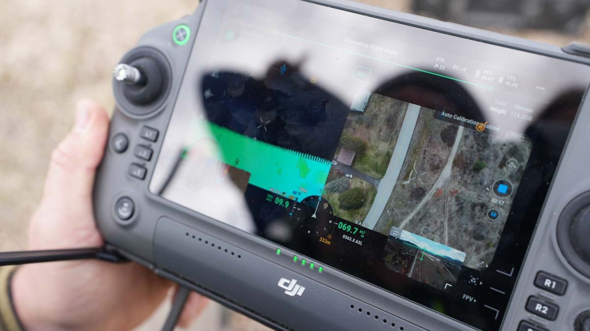
Discover the world through geographic information systems (GIS)! Students will be showcasing their cartographic skills and demonstrating remote sensing technologies. Learn about faculty research and equipment updates.
Flexible and adaptable, GIS can be used in a variety of different scenarios—to make evidence-based decisions, understand trends and analyze data, effectively communicate a message and visually tell a story.
At Selkirk College, you can complete a bachelor's degree in GIS, an advanced diploma in GIS as well as an advanced certificate that allows you to bring GIS to your current workplace.
This event is sponsored by Columbia Power.

