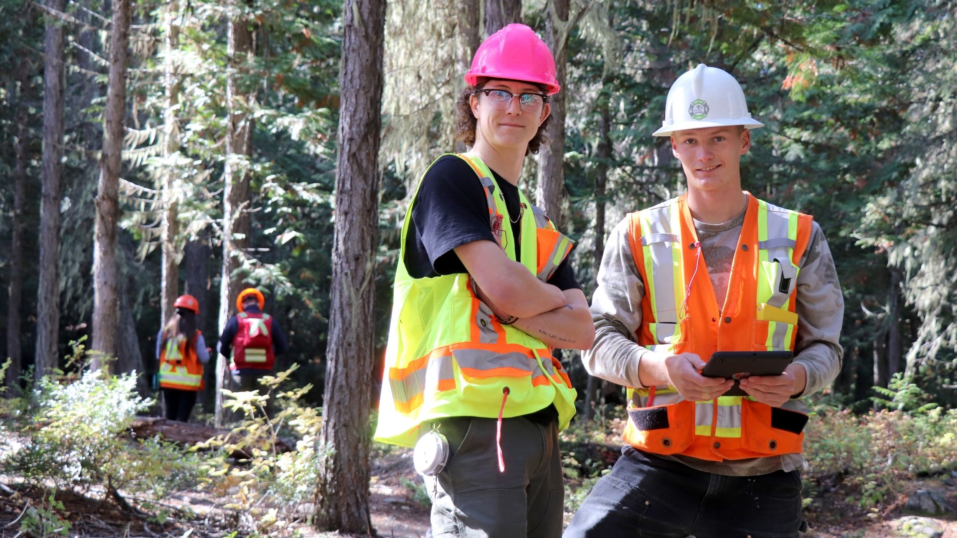
Applied Research in a Range of Topics
At the 22nd-annual School of Environment & Geomatics Student Conference, graduating students will present posters and talks on their applied research projects in Geographic Information Systems, Recreation, Fish & Wildlife, Applied Environmental Science and Planning Technology (AESP), and Forest Technology.
This event is not open to the public, but posters created by AESP students will be displayed in The Pit all day—stop by and check them out!
Agenda
10–10:30 am: Arrival & Coffee
10:30 am–10:45 pm: Welcome Remarks, Rena Vandenbos
Session 1: Locations, topics and presenters
| Room | Topic | Presenters |
|---|---|---|
| G13 | Mapping huckleberry patches within the proposed Zincton CRA near New Denver, BC. | Alana Block |
| G13 | Density Mapping Using High-Resolution Orthophotos and LiDAR Data on Svoboda Road | Dominique Hervochon |
| G13 | Using Drone-Based Imagery and LiDAR Data to Map Existing and Potential Recreational Features in the Svoboda Rd. Area, Nelson, B.C. | Virginia Cabal-Lawrence |
| G13 | Evaluating Forest Health after Western Spruce Budworm Defoliation Event Nimona Tree Crown Delineation, Tree Characterization, and Understorey Fuel | Nimona Rice |
| G14 | Flying High, Sampling Low: Comparing Drone and Field Approaches to Fish Research | Noah Elliott-Adams, Aiden Ripplinger, and Jordy Stroud |
| G17 | The Truth is Out There: UFO Sightings Trends in British Columbia | Quinn Foreman |
| G17 | Streets for People - Spaces for Community | Felix Bilodeau |
| G17 | A Blaze in the Northern Sky: Light Pollution and Scotobiological Impacts on Ecology and Human Health | Matthew Montgomery |
| G17 | Fungi Forecast: Predicting Prime Morel Foraging Sites in the Kootenays | Hannah Krausz |
| M21 | Influence of the Edge Effect and Block Orientation on Shade Intolerant Planted Species within a Group Selection System | Jessica Brazil |
| M21 | How Microsite Quality Factors Affect Primary Tree Growth of Planted Pseudotsuga menziesii, Larix occidentalis, & Pinus ponderosa Seedlings | Lindsey Craig |
| M21 | Comparing the Total Growth of Pinus contorta and Picea glauca x engelmannii in Various Microsites Affected by Mounding in the ESSFmh near Paulson Summit, BC | Carver Nemechek |
12:20–12:50 pm: Lunch Break and Poster Session, The Pit
Posters created by our AESP students will be displayed in The Pit all day, please stop by and check them out when you are able.
1–1:50 pm: Concurrent Session 2
Session 2: Locations, topics and presenters
| Location | Topic | Presenters |
|---|---|---|
| G14 | Russel Creek Case Study: Evaluating GIS Data and Conservation Potential of British Columbia’s Remaining Old Growth Forests | Jessy (Jay) Bokser |
| G14 | Anthropogenic Impact on Wetland Animals on the Bombi Pass | Trevor Price |
| G14 | Can We Calculate Bear Populations on Selkirk Campus Using Camera Traps? | Lily Butler |
| G17 | The Influence of Microsite Selection on the Establishment of Western Larch Seedlings | Isabel Cicek |
| G17 | Reinhabiting Uptown | Nick Hindbo |
| G17 | Wildfire Mitigation Strategies | Laurel-Ann Wolshlager |
| G17 | Using Tactical Urbanism to Repair Castlegar's Patchy Urban Realm | Nina Reid |
| L15 | Assessing the Relationship Between Pre-Fire Vegetation Health and Burn Severity of the Slocan Lake Fire Using Normalized Burn Ratio (NBR) and Sentinel-2 Imagery | Caitlin Gilchrist |
| L15 | Overlay Analysis of GOES (Geostationary Operational Environmental Satellite) Smoke Product for Tracking Wildfire Smoke Capabilities on the Pacific Coast | Laura Sturtridge |
| L15 | Supervised and Unsupervised Classification of Drone Imagery for Early Detection of Western Balsam Bark Beetle Attacks in Subalpine Fir Stands | Brooke Morgan |
| L15 | Avalanche Risk Analysis using High-Resolution LiDAR on the West Arm Provincial Park, British Columbia | Lady Moreno Rodriguez |
| M20 | What Changes in Fire Intensity Behavior Can Be Observed when Comparing Pre and Post Fuel Modification Data in Deer Park, BC | Taylor Sand |
| M20 | Do Individual Leave Trees in Cut Block 41-53 North of Hall Siding Have a Positive Effect on the Levels of Soil Compaction throughout the Block Compared to Open Areas | Cole MacMillan |
| M20 | Beetle Presence and Effectiveness of Management near Castlegar British Columbia, Canada | Nelson Sipponen |
| M20 | Comparing Critical Surface Fire Intensity in a Pre and Post Burned ICH site in Lemon Creek, Slocan, BC | Milton Pelletier |
2–2:50 pm: Concurrent Session 3
Session 3: Locations, topics and presenters
| Location | Topic | Presenters |
|---|---|---|
| G14 | Monitoring Wildlife Behaviour and Prescence in an Anthropogenically Colton Blaney Impacted Zone | Colton Blaney and Jack Ekholm |
| G14 | Corvidae Densities in Forested vs Non-Forested Areas | Luke Ricciuto Macdonald and Desirae Beaulieu |
| G17 | Parking Lot Stormwater Management Best Practices | Brook Broadhurst |
| G17 | Housing Conversion Strategies | Amanda St-Onge |
| G17 | Whitebark Suitability Assessment Trozzo Creek | David Sugihara |
| G17 | Designing Social Cohesion in Uptown Castlegar | Raine Freeman |
| LLB19 | Leveraging Remote Sensing and Drone Technology for Substrate Classification to Identify Viable Spawning Habitats for Chinook Salmon in the Upper Columbia River | Hannah Murphy |
| LLB19 | Utilizing LiDAR to Identify Wildfire Risk Reduction Targets in Kaslo, BC | Stuart Kaija |
| LLB19 | Old Creston Ferry Landing: Using LiDAR to Assess Topography and Dike Integrity | Maxime Dumoulin |
| LLB19 | The Use of Thermal Imagery in 3D Modeling for Building Heat Loss Analysis | Shivani Kumar |
| M20 | Comparing Slash Burned Site Treatment to Untreated Sites Leader Growth Compared between Larix occidentalis and Pseudotsuga menziesii | Drew Tjader |
| M20 | What Effect Does Soil Compaction Have on Pseudotsuga menziesii | Landon McKay |
| M20 | Incidence of Endocronartium harknessi in Pinus contorta: A Comparative Study in Two Different Castlegar Campus Areas | Jae Ho Lee |
| M20 | Comparing Fine Forest Fuels in Hand Treated vs Masticated Fuel Treatment Units in the ICH dw 1 | Jessica Gray |
3–3:50 pm: Concurrent Session 4
Session 4: Locations, topics and presenters
| Location | Topic | Presenters |
|---|---|---|
| G14 | Geospatial Mapping of Chronic Wasting Disease in the Kootenays: A Hunter’s Guide to Testing Locations and Disease Hotspots | Uma Balance and Sawyer Ryan |
| G14 | Animal Populations Comparison: Post-Fire vs. Mature Forest in a Dry Interior Cedar Hemlock Ecosystem | Madeline Uhlenberg and Myka Gowler |
| G17 | Laneways and Alleys | Shane Woods |
| G17 | Climate Risk Mapping: Upland mass-movement threatening Highway 3 Kootenay Pass | James Gibson |
| G17 | Strengthening Local Food Systems in Castlegar, BC | Jessie Badger |
| G17 | Who Let the Dogs Out: Suitability Analysis for a Potential Dog Park in Castlegar | Jacob Robinson |
| G17 | How to fill your berry basket with the abundance of the Northern Boreal: Site suitability and access analysis of berry patches around Moberly Lake, B.C. | Sherissa Haslbeck |
| LLB19 | Utilizing Drone Technologies and Sentinel 2 Data to Map Lichen Resources for Caribou Conservation in the West Kootenay | Emma Schroder |
| LLB19 | Use of Lidar Data for New Trail Routes in Kokanee Glacier Provincial Park | Nathan Kamstra |
| LLB19 | Mapping Changes in Shoreline Elevation from 2009 to 2019 on Ile Niapiskau, Mingan Archipelago National Park Reserve, Quebec | Kai Symington-Kruus |
| LLB19 | Wetland Using Drone Imagery | Jinsae Oh |
| M20 | How Does the Health of Treelines Vary between North-facing and South-facing Aspects? | Valerie Chung |
| M20 | Examining the Relationship between Steep Slope Harvesting near Avalanche Terrain and Crop Tree Growth | Greg Cote |
| M20 | What are the Effects of Different Forest Management Systems on the Spread and Severity of Douglas Fir Bark Beetle Infestations in the Castlegar B.C Area, ICHxw BEC Zones: How do Attack Patterns of Douglas Fir Bark Beetle Paired with Environmental Factors, Contribute to the Economic Impacts of Poor Forest Health in Local Economies? | Gracie Smith |
| M20 | Is There a Significant Difference in Wildfire Threat Ratings based on Pre and Post Treatment Assessments in Skattebo Research Forest, BC? | Maya Cairns-Locke |
4–4:30 pm: Wrap-Up Session and Prizes, The Pit