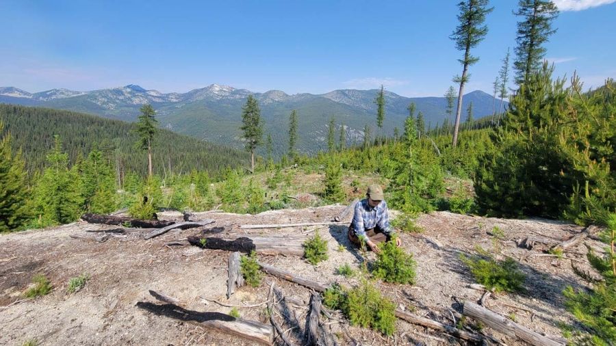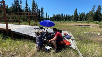
Dana Koscielny, a recent graduate of the Advanced Diploma in Geographic Information Systems (ADGIS) Program, has been expanding their knowledge and skills in remote sensing field work and technologies through working with the GIS & Natural Resource Management team. They have been contributing to projects related to fisheries and forestry.
“Working with remote sensing data in the ADGIS Program piqued my curiosity about the methods used to collect this data. It’s very satisfying to work in the field on projects and see the process from the other side,” says Koscielny.
Most of Koscielny's time has been dedicated to implementing new software and developing processing workflows to improve the interpretability of ground penetrating radar (GPR) data for applications in bathymetry and peat depth calculation. These projects are particularly exciting because deploying GPR from a drone is a recent innovation, and the combination of these technologies has only been explored in the past few years.
“It’s fascinating to work with cutting-edge technologies that are expanding the possibilities of what can be achieved with drone-based remote sensing,” says Koscielny.

